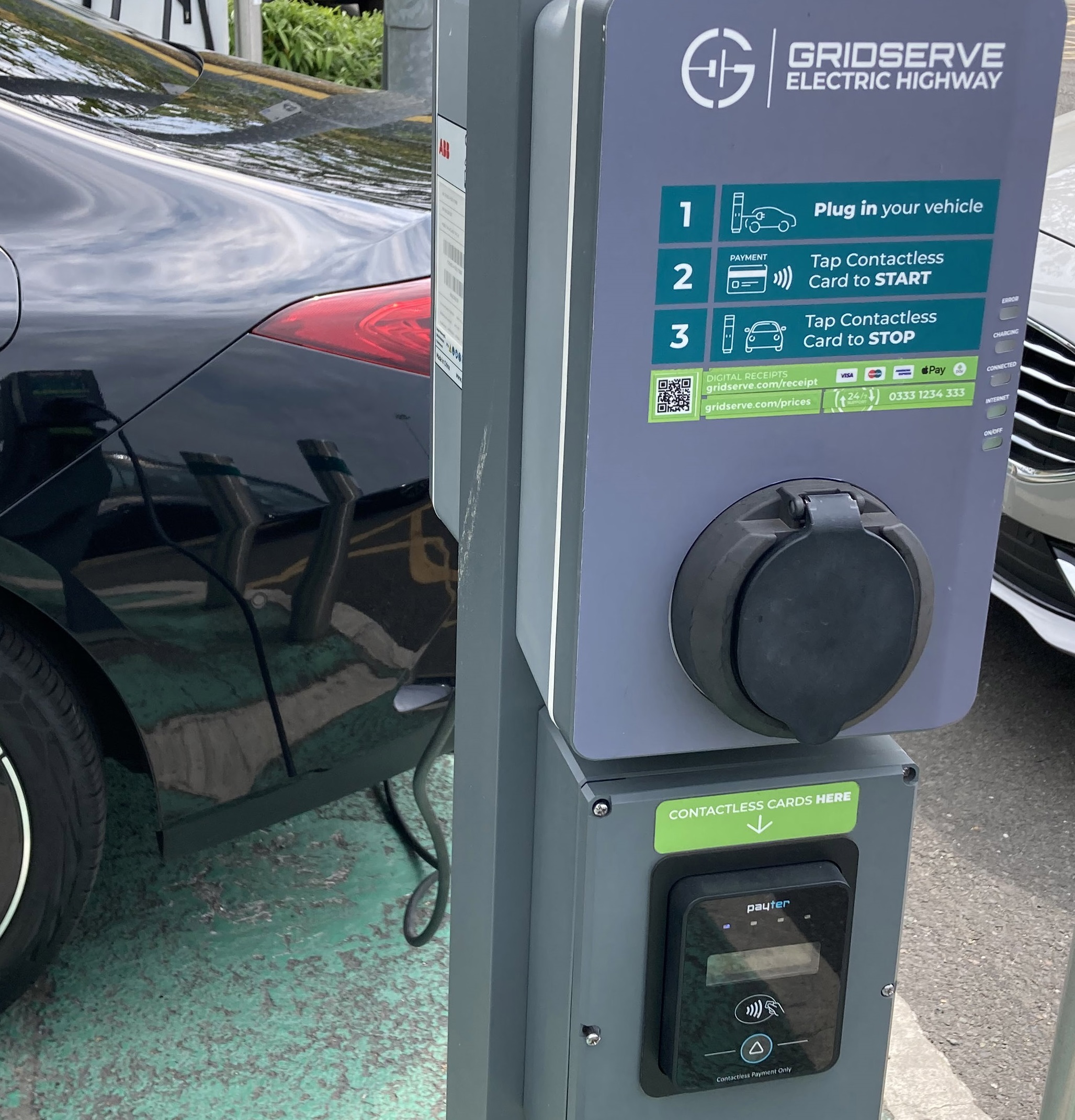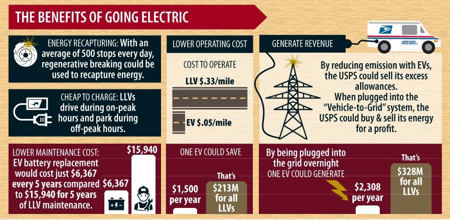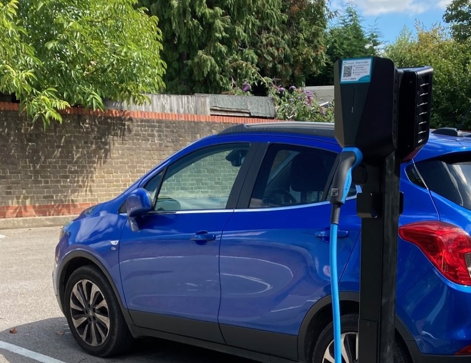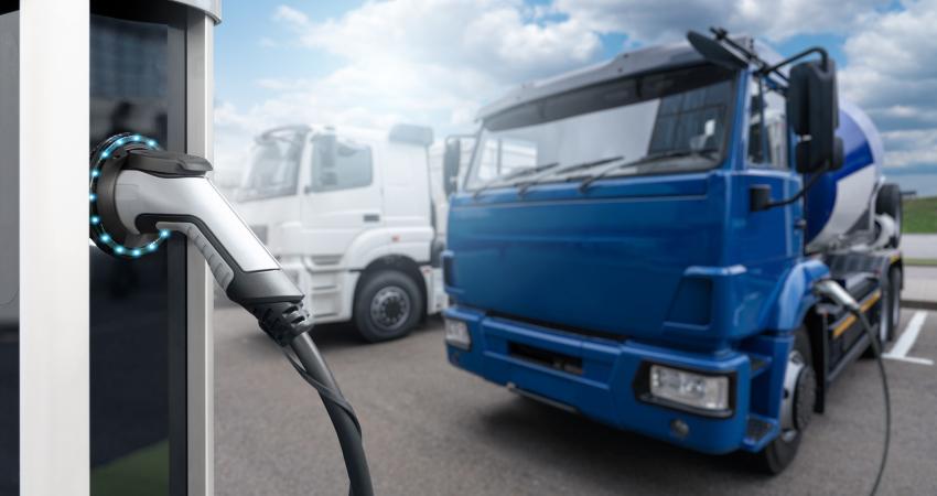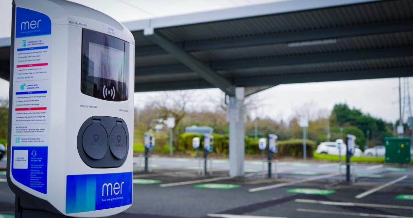
With a third of carbon emissions coming from transport, increasing EV ownership has become a strategy in trying to reduce emissions. One of the biggest challenges to increased EV ownership is to build enough infrastructure (e.g. charging stations) to help current EV owners as well as those who are hesitant in owning one due to range anxiety, especially on long trips as depicted in the images.
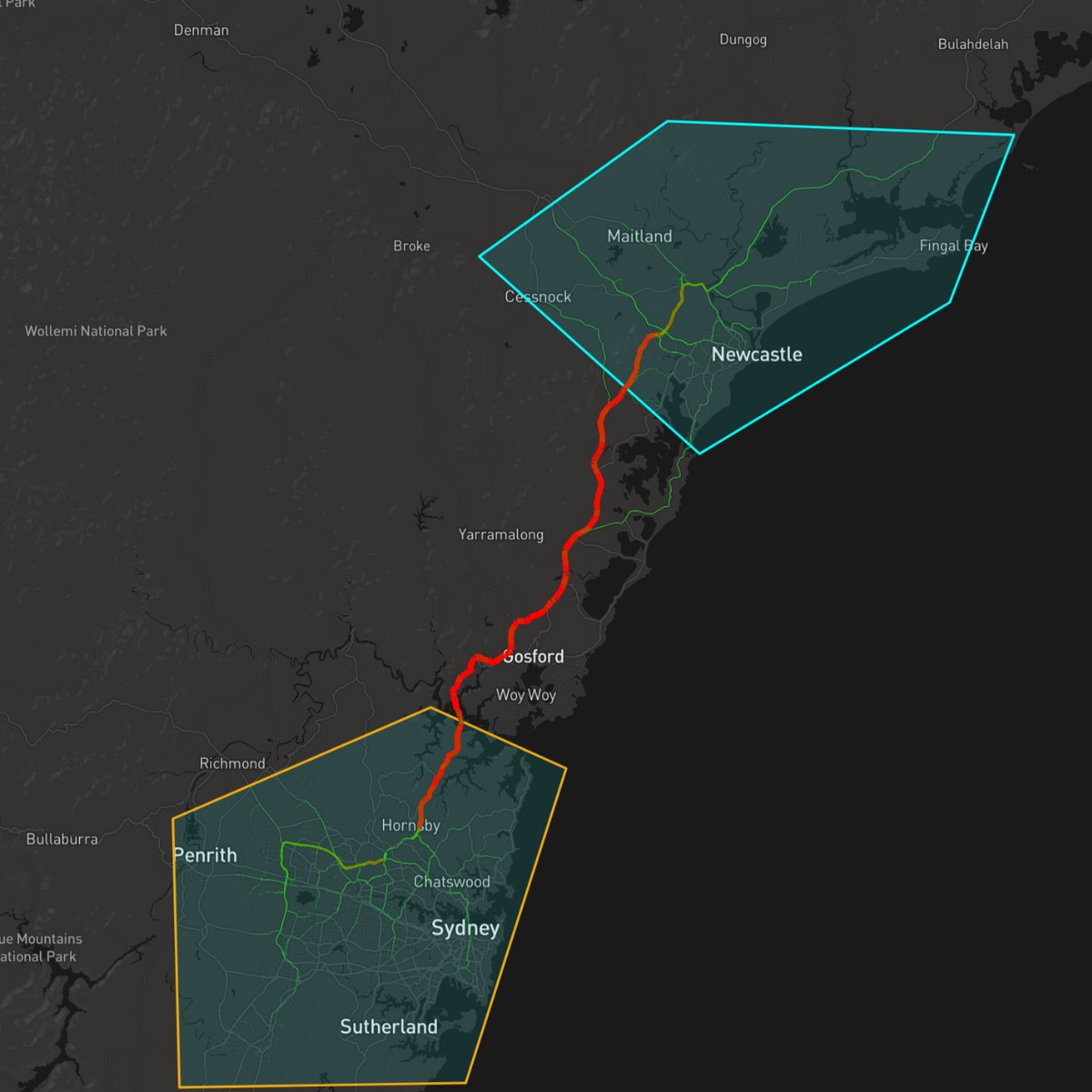
To prepare for these changes, Compass IoT’s customer in New South Wales, Australia, had a look at:
Trip times
The volume of cars
Battery charge percentages
Stopping locations and lengths
Number of EVs on the road
The type of vehicle
By understanding these factors, they could build infrastructure to support the uptake of EVs in order to maximise charger utility.
By identifying the number of EVs as a percentage of total traffic, the (unnamed) client was able to determine what level of demand might exist for existing infrastructure, whether new infrastructure needs to be built, and where to build it.
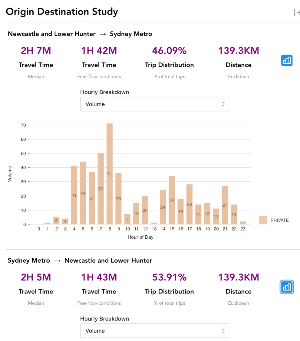
Overlaying vehicle makes and model information with battery charge data between a known origin and destination could also provide insight into the best locations for new chargers, potentially maximising the return on investment through higher utilisation rates.
Similarly, understanding popular stopping locations and average stopping times could inform what type of chargers (i.e. ultrafast, fast and regular chargers) should be installed based on unmet demand along popular routes.
ABOUT THE AUTHOR:
Compass IoT is a multi-award-winning road intelligence company which uses connected vehicle data to help transport professionals build better, safer, and more resilient cities. Compass data is used by most Australian state governments to plan and provide insight into road safety, asset maintenance, freight and road infrastructure project


