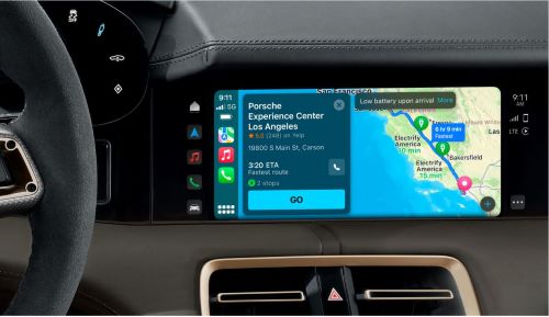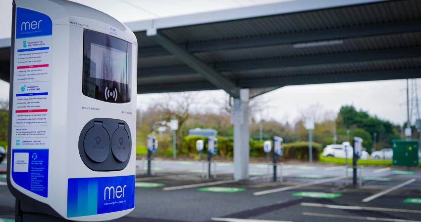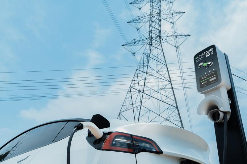
To support this effort, Esri, a provider of location intelligence, has co-sponsored an EV road trip with Zpryme, an energy utility research company. The trip, currently in progress spans more than 400 miles across the state of California. It is intended to call attention to the need to modernise America's power grids and build more charging stations to reduce reliance on fossil fuels.
Along the route from Sacramento to Esri's Redlands headquarters, Zpryme's researchers are visiting some of California's leading power companies. During those stops, they will learn about plans being developed to increase power grid capacity to produce more electricity for EVs.
Many power companies already rely on Esri's geographic information system (GIS) software to create dynamic, data-driven interactive maps and dashboards for planning and forecasting, design, and collaboration.
"Geospatial technology is already a fundamental part of how many utility companies operate, so it will be a critical tool in scaling up the nation's EV infrastructure," said Matt Piper, Esri's global director for industry solutions. "GIS can integrate data about a community's demographics, traffic counts, and existing charging stations—this information can be linked to a location and overlaid on a digital map that can be updated and shared as plans change and evolve."
EV owners often have range anxiety. However, utilities and planners can use GIS to identify and address gaps in a municipal network of charging stations, predict future demand, and address concerns about equity in station distribution.


